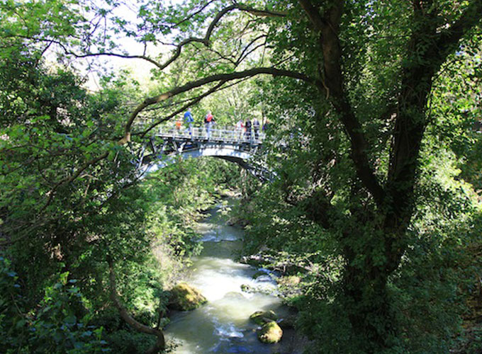
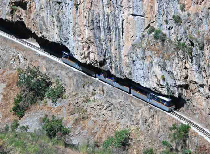
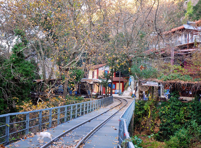
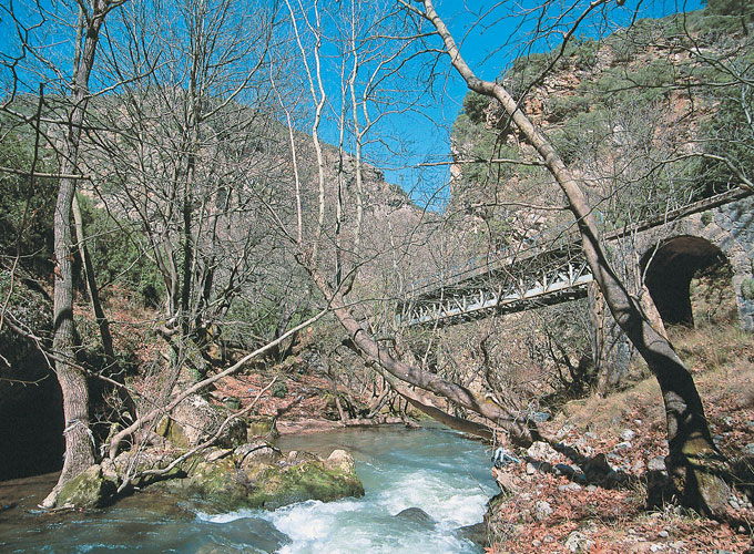
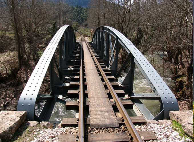
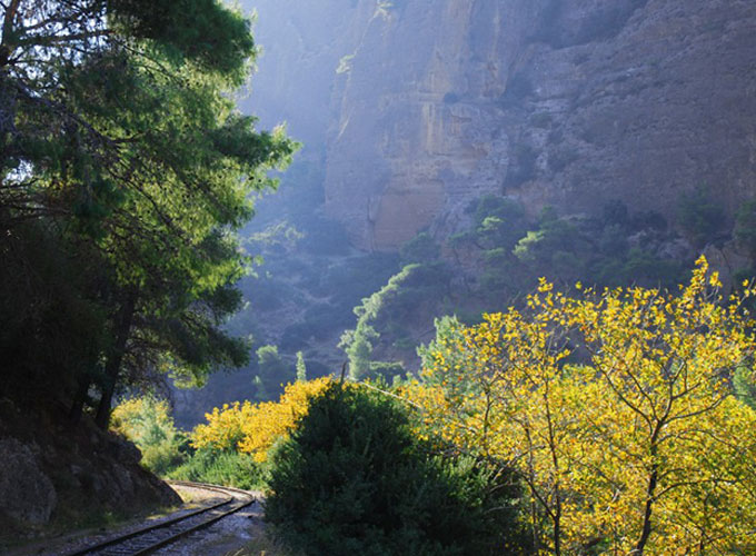
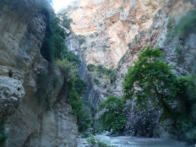
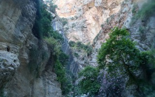
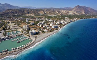
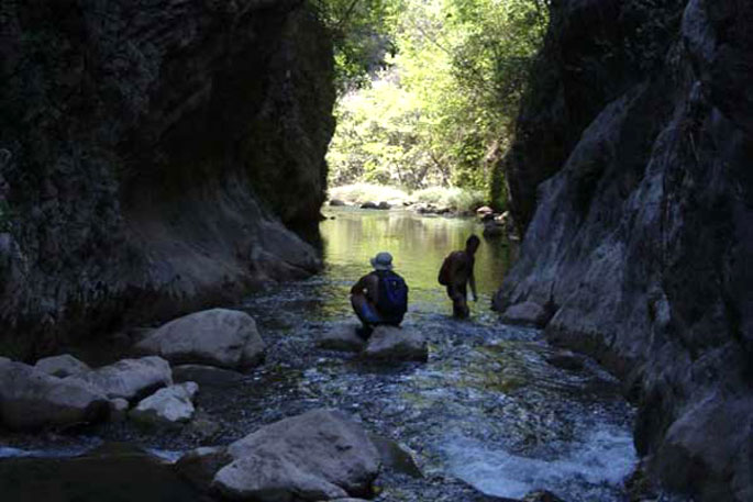
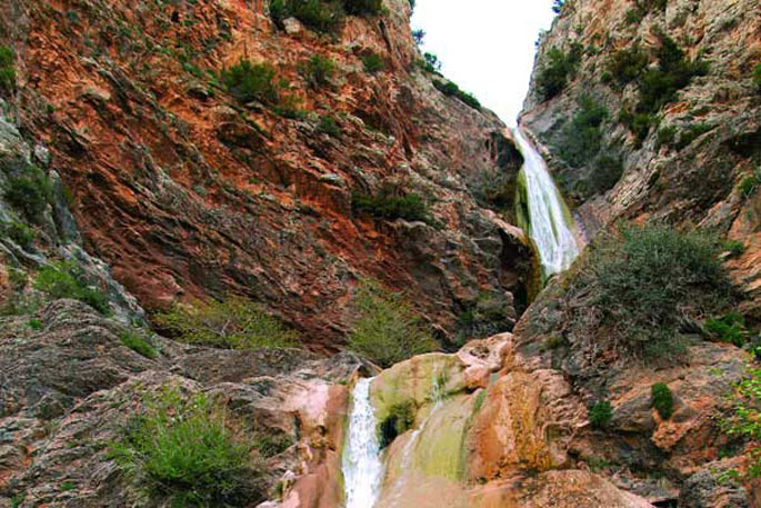
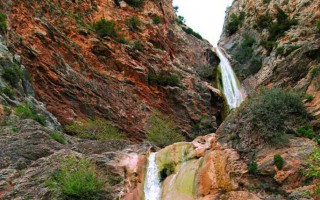
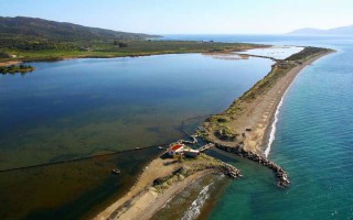
Vouraikos gorge starts at a distance of 3 km from the west foothills of mount Helmos and mount Panachaiko, and leads all the way to Diakopto. Vouraikos River springs from the mountains of Kalavryta and ends at the Corinthian gulf, near the beach of Diakopto. Along its way it has created a deep, unique gorge.
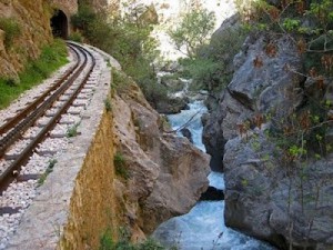 As it runs down to the sea, it receives the waters of several streams forming small lakes and numerous cascades. Its width is constantly changing. The narrowest spot, “Portes”, is located close to Zachlorou. According to the myth, there was a rock there, blocking Hercules passage. Hercules cut the rock in two and created this gateway. The rack railway passes through the gorge.
The region is protected under the European Natura 2000 due to its abundant flora and fauna.
Source: www.mythicalpeloponnese.gr
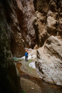 Fonissa is a stream that forms a deep gorge from Vrysoules village to Loutro, in the municipality of Xylokatsro-Evrostini. In antiquity the stream was the natural borders of ancient Pellene, called Krios (ram). The name “fonissa” (female murderer) highlights how dangerous it is to be in its way when it is full of water. The only way to access the gorge is to follow the road from Kato Loutro village towards the monastery of Korfiotissa. Just before the monastery, turn left to the track descending to the stream. In every crossroad, turn in the direction of the antenna on the opposite hill. The track ends at the stream. Once at the dam, take the track that leads to Kato Loutro village.
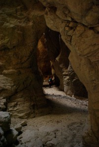 It consists of a small yet impressive gorge that offers a trekking route of 10km. It is formed at the point where river that starts from Korfiotissa, is interrupted by a large limestone hill for 1.5 km before it reaches the Cornthian gulf. At some points it gets really narrow, acquiring the characteristics of a cave. It has an average width of 2-3 meters and has limestone hillsides.Fonissa gorge was first made safe in 1984 by Spiros Apostolopoulos and Aris Theodoropoulos. Many other teams have continued the work ever since rendering the gorge safe and accessible. During the spring, water flows in the gorge, while the first narrow point is formed after the entrance. For almost one km (800m) the light gets scarce and the open points are few. The gorge offers 5 technical descendings, the biggest being 18m, and just before the exit the light appears again. Although equipment is required throughout the route, we can walk along it.
Fonissa offers 5 technical descendings, 250m difference in altitude, and 1.5km of length. A four member group requires three hours to cross it.
Source: www.mythicalpeloponnese.gr
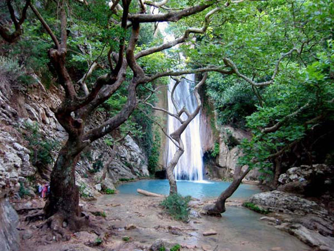
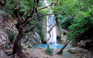
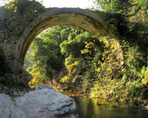 Neda is the only “female” river in Greece. It stems from the foot of Mount Lykaion and flows into the Ionian Sea, more specifically into the Kyparissiakos Gulf. Neda is approximately 32 kilometres long and passes through a stunning fairytale-like landscape.The Valley of Neda was of particular importance to the ancient Greeks and was often mentioned in various myths, while it is surrounded by archaeological remnants. A unique temple, dedicated to God Pan, is located here, while the majestic temple of Epicurean Apollo –a creation of Iktinos– is located in Vasses.
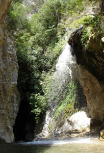 The gorge of the river is equally intriguing and dazzles visitors with its stunning wild natural landscape. The best time to cross it is from May to September, provided it doesn’t rain. Entrance to the gorge is possible at many points, depending on the length of the route one wishes to cover. Nevertheless, the entire route is approximately 20 kilometres long and it would take two days to cover it. Proper preparation is necessary, since beyond its undoubted beauty, the gorge does have several points that require extreme caution.
Source: www.mythicalpeloponnese.gr
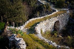 The Gorge of Vyros is one of the many gorges of the Peloponnese and is situated on the western slopes of Mount Taygetos, covering a distance of 19 kilometres and filled with firs, pines, cedars, cypresses and walnut trees. It begins from the village of Agios Panteleimon and ends up in the villages of Exohori and Tseria.
Beyond its obvious natural beauty, this gorge stands out also because of its historical importance. Reportedly, the Royal Route went through this gorge, connecting ancient Sparta with the port of Kardamyli. This route was widely used when the Spartans, during the Messinian Wars, lost the sovereignty of all their ports, except for that of Kardamyli.Crossing the gorge can be a pleasant experience, since apart from the natural beauty there are also remnants from various periods, when people sought refuge here. Depending on the distance one wishes to cover, there are various starting points, each with its own degree of difficulty and peculiarities.
Source: www.mythicalpeloponnese.gr
The wider area of Messinia is filled with impressive natural formations, creating a stunning landscape. Mountains, rivers and gorges compose a unique backdrop that dazzles the eye. One of the many gorges of the area is that of Rintomos, which starts from the peaks of Mount Taygetos and ends up at the shore of Santova on the Messinian Gulf.
The Gorge of Rintomos is truly majestic and is characterized by lush flora, steep ravines, diversified rocks and virtually vertical slopes. Crossing the gorge is very popular among nature lovers, who have two options for a starting point. One is from the village of Anavryti and the other from the lodge of the Greek Mountaineering Club of Sparta in the location Varvara. A hike in the gorge can reveal many wonderful surprises, such as the picturesque settlement of Rintomos, the fields once cultivated by the residents, bridges, caves, as well as remnants from hermitages. The best time to cross it is at the end of spring or the beginning of summer, when weather conditions favour this relatively demanding route.
Source: www.mythicalpeloponnese.gr
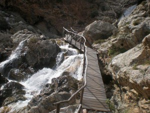 The gorge of Lepida is one of the numerous, impressive natural formations of Mount Parnon, which stands between the prefectures of Arcadia and Laconia. Its length is 500 metres and it is relatively flat. Two hours are required to cross it, during which visitors will have the opportunity to enjoy the unique natural beauty of the landscape, which is filled with rich flora and fauna and boasts two gorgeous waterfalls (ideal for rappel), of 45 and 70 metres respectively, which complement the impressive scenery.
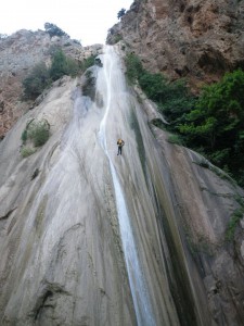 Access to the gorge is possible via the villages of Kato Doliana and Kastritohoria. Crossing is safer during the summer when the level of the waters is low, and this can also be combined with visits to notable attractions, such as Tiryntha, Akronafplia and Mycenae. There are also several lovely beaches close by.
Source: www.mythicalpeloponnese.gr
Unknown but yet beautiful, the Katafyki gorge invites you to a relaxing but charming walk. Wild birds, lush vegetation, gurgling waters and spectacular caves compose a unique painting
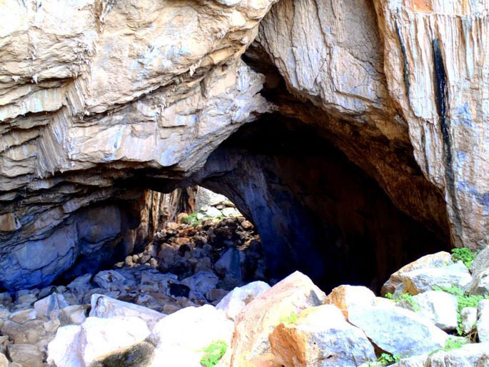
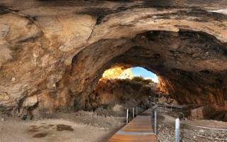
Katafyki gorge is a beautiful natural landscape, located between the villages of Fournoi and Ermioni. It consists of a protected area of outstanding beauty and a wild life refuge that attracts the most demanding visitors. Hikers can leave their car in Ermioni and take the path that passes through the dense vegetation of pines, laurels, myrtles, shrubs and other endemic plants. The sound of the running water and the presence of rare animals and wild birds give the impression of an earthly paradise. The imposing rough rocks host mysterious caves, one of which is said to consist of the entrance to the underworld, the point from where Hercules found Cerberus. The locals narrate stories of various offenders that used the caves as refuge.
At the exit of the gorge, near Ermioni, lies the byzantine church of Saint Nikolaos that, since 1740 according to local tradition, protects its visitors from the bad spirits.
The gorge is the ideal spot for hiking and climbing even for the inexperienced climbers. You can start from the gorge and, through the old bridge, reach the picturesque village Fournoi.
Source: www.mythicalpeloponnese.gr

