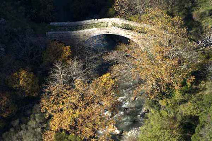
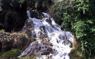
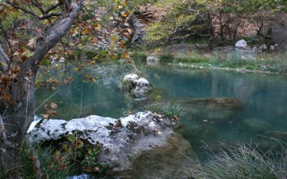
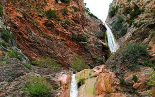
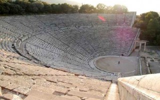
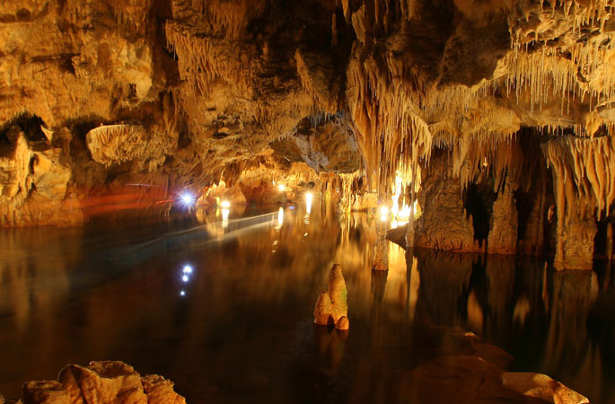
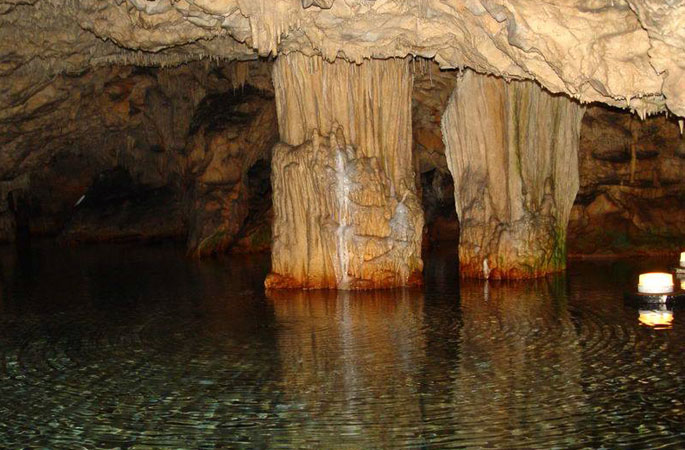
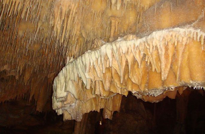
Lousios is a Peloponnesian river and a tributary of Alfeios. It is a relatively small river, approximately 25 kilometres long. However the landscape that surrounds it on its both banks is magical. The name of the river has ancient origins. It is said that it was given this name because the newborn Zeus was bathed (Louzo=bathing) in its waters by the nymphs Theisoa, Neda and Agno.
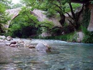 Near Karytaina, River Lousios crosses a gorge of substantial environmental importance, about 26 kilometres from its mouth. The natural beauty of this gorge fully justifies its characterization as a protected zone by the Ministry of Culture in 1997. Its flora is rich, and its fauna includes many species of reptiles, birds and even bats. There are numerous monasteries, churches and hermitages around the river, evidence of the religious life that developed there in the past.
The gorge is ideal for a plethora of activities, like rafting and kayaking. It is a particularly impetuous river and is certainly not recommended for beginners. However, the crossing of the gorge is something suitable for everyone and a truly unique experience.
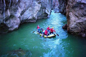 Lousios originates in the location of the ancient town of Theisoa, near the village of Karkalou, as well as further to the north, near Kaloneri, in the location of the church of Agia Paraskevi. These two streams meet up in Karkalou, where Lousios continues its course, to end up after 25 kilometres in Alfeios and flow into somewhere near Karytaina. In its relatively short course, Lousios gives life to the entire surrounding area and dazzles with its natural beauty that includes flora, fauna, unique formations, waterfalls and an incredible gorge.
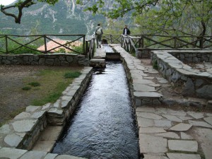 The gorge of River Lousios is one of the most impressive attractions in the prefecture of Arcadia. It is 15 kilometres long and around 2 kilometres wide. On its western side it goes through the National Trail 32, which is part of the European trail E4 GR that starts from Vytina, passing through the villages of Zygovisti, Dimitsana and Paliohori, the Monasteries of Philosophou and St. John the Baptist, then through Karytaina to end up in Gytheio. This entire area is truly amazing. The flora is rich and includes laurels, maples, willows, yews, myrtles, plane trees, elms, poplars, firs, olive trees and many more. The fauna is equally impressive, including various species of reptiles, birds, fish and mammals that live here throughout the year.
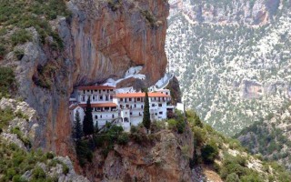
Religious and ascetic life developed on both sides of the gorge, especially during the Turkish occupation; something obvious from the existence of numerous monasteries, churches and hermitages, like the monasteries of Aimyaloi, Kalamiou, Philosophou, St. John the Baptist and the church of Agios Andreas of Gortyna. The wild beauty of the area combined with the serenity of nature were ideal for anyone who wanted to feel closer to God.
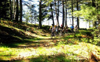
The gorge of River Lousios is perfect for many activities, like canyoning (crossing the river by various means), canoe-kayak, rafting, hiking and trekking. The hiking trails are numerous, each one with something different to offer. In 1997 the gorge was declared as an area of particular archaeological and environmental importance and was placed under the auspices of the Ministry of Culture.
Source: www.mythicalpeloponnese.gr
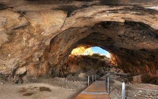
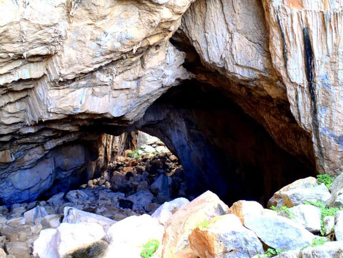
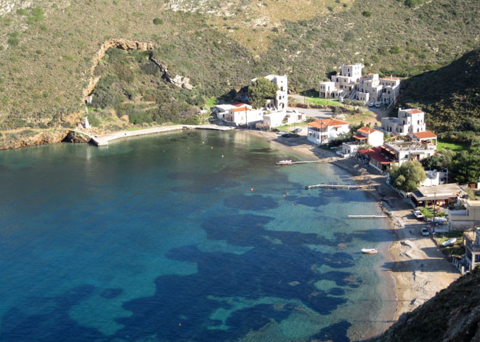
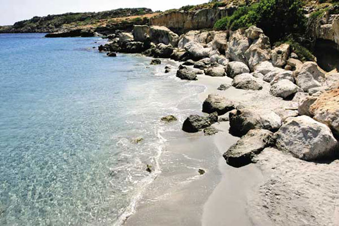
Frachthi cave is a world famous monument situated at the wild rocky mountain opposite the village Koilada. Excavations brought to light numerous findings among which the oldest human skeleton attesting its continuous occupation for more than 20.000 years. Walk through the beach Lampagianna, climb to the cave and enjoy the view.
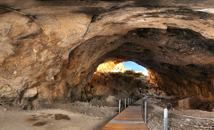
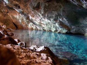 The world famous Frachthi cave is located next to the sea, opposite Koilada village, on a rocky hill covered by shrubs. Visitors can wander in the two chambers of the cave and admire the reflecting sun rays on the small lake situated in the center of the cave. It is west oriented, at an elevation of 12.5m over sea level and in a distance of 50m from the shore. Its total depth reaches 150m. In the past, during the Stone Age the distance to the sea was larger.The cave was first inhabited by the Homo Neanderdhal during the Paleolithic age (40.000 B.C.) and it was re-occupied by homo sapiens (wise human) after 30.000B.C. There are elements illustrating its continuous occupation from 25.000 B.C. to 30.000 B.C. when it was destroyed by a big earthquake.
Originally it was occupied by some hunters that had found refuge in it. During the Middle and Later Neolithic Age more people begun to gather. Sediments that date from the Upper Paleolithical to the Neolithical age have been found in the cave. The excavations conducted in 1967-1976 and 1980-1982 by professors of the Universities of Indiana, brought to light numerous findings that illustrate the continuous inhabitance of the cave during the Stone Age.
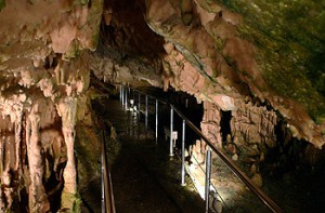 The findings included stone and bone tools, statuettes, ceramic vessels, jewels, shells, and other objects. A rare series of fish bones, mainly of tuna fish was also brought to light. The most significant find, though, is the most ancient human skeleton of a 25years old man, found in a fetal position under a pile of rocks. It is believed that he lived in the cave 10.000-8.000 years ago. More human skeletons were found in the cave providing the average height of humans. Remains of obsidian items found in the cave have been traced to the island of Melos indicating that humans of that period could realize long sea distance travels.
The excavations have been carried out only in the front part of the cave, extending to a surface of 700m. The rest of the cave remains intact keeping its secrets unrevealed. The finds are exhibited in the Archaeological Museum of Nafplio.
The Paleolithical house is a worth visiting and can be accessed by land and by sea. You can also practice climbing on the rocks of the cave, trekking on the Lampagiannas beach and swimming in the crystal blue water.
Source: www.mythicalpeloponnese.gr
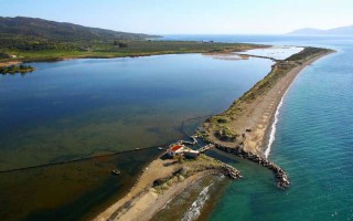
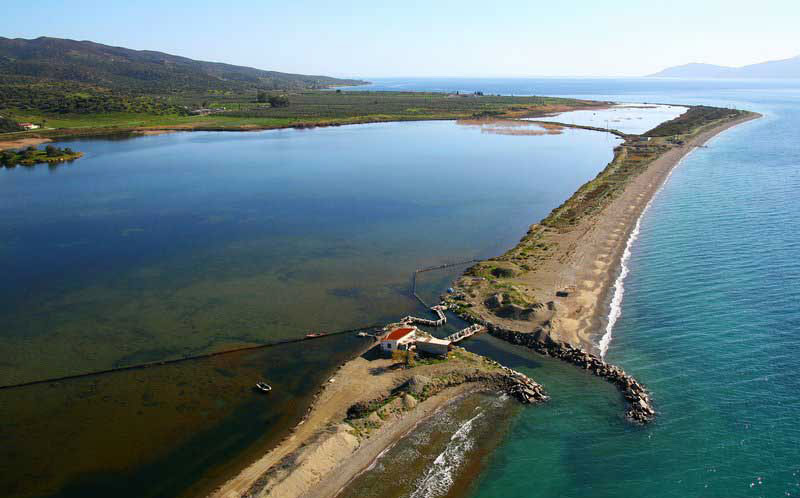
Thermisia lagoon is an important habitat of rare migratory birds. It is a serene and unique lagoon surrounded by a breathtaking landscape.
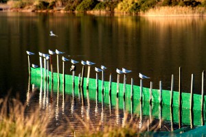 Located in the picturesque village of Thermisia, to the east of Ermioni, the lagoon took its name from some hot springs that existed in the area. The Greek traveler Pausanias mentions a temple dedicated to Demeter Thermasia. This magnificent lagoon was used as a salt lake during the Venetian occupation and in modern times it hosted fish hatcheries. Today, it is of one of the most significant habitats in the region and it has been integrated in national and international protection networks; namely the European network CORINE BIOTOPS. The rare species that seek refuge in the site are protected under the European directive 79/409 and the Bern Convention.
Thousands of rare migratory birds visit the lagoon every year; herons, Gull-billed Terns (Gelochelidon nilotica), starlings (Sturnus vulgaris), glossy ibis (Plegadis falcinellus), the great egret (Egretta alba) and numerous other species.
Source: www.mythicalpeloponnese.gr
Unknown but yet beautiful, the Katafyki gorge invites you to a relaxing but charming walk. Wild birds, lush vegetation, gurgling waters and spectacular caves compose a unique painting
Katafyki gorge is a beautiful natural landscape, located between the villages of Fournoi and Ermioni. It consists of a protected area of outstanding beauty and a wild life refuge that attracts the most demanding visitors. Hikers can leave their car in Ermioni and take the path that passes through the dense vegetation of pines, laurels, myrtles, shrubs and other endemic plants. The sound of the running water and the presence of rare animals and wild birds give the impression of an earthly paradise. The imposing rough rocks host mysterious caves, one of which is said to consist of the entrance to the underworld, the point from where Hercules found Cerberus. The locals narrate stories of various offenders that used the caves as refuge.
At the exit of the gorge, near Ermioni, lies the byzantine church of Saint Nikolaos that, since 1740 according to local tradition, protects its visitors from the bad spirits.
The gorge is the ideal spot for hiking and climbing even for the inexperienced climbers. You can start from the gorge and, through the old bridge, reach the picturesque village Fournoi.
Source: www.mythicalpeloponnese.gr
The E-path starts at the Pyrenees of Spain, it crosses central Greece, and ends at Larnaka, Cyprus. The southern part of the path begins in Corinth and through Tripoli enters Laconia, crosses Parnon, Sparti and Mystras and climbs the slope of Taygetus and ends in Gytheio.
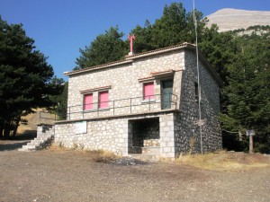 The path follows the route Agios Petros – Karyes – Vresthena – Theologos – Sparti – Mystras – Faneromeni Monastery- Anavryti –- Lakomata – Taygetos shelter– Pentavloi – Agios Dimitrios – Arna – Agia Marina – Monastery of Our Lady Giatrissa – Katsania – Gytheio. Through Kapsia village in Tripoli, the path enters Karyes village on the slopes of Parnon and crosses the forest ending at Vresthena.It passes through the city of Sparti, leading to the fortified town of Mystras with its byzantine churches and the narrow stone alleys. After seven hours of trekking, accompanied with a great view of mount Taygetus, the path continues to Anavryti and ends at the mountain shelter of Taygetus, where you can spend the night. Through the forest tracks and the numerous water sources the path comes to Pentavloi, a region of special natural beauty that follows Anakolo gorge. Near the river of the gorge, the old bridges and the traditional water mills the path continues to Arna and the prominent monastery of Our lady Giatrissa (the healer) to end at Kastania. From this point the path crosses traditional settlements, caves, hills, water springs, and ravines until it reaches the town of Gytheio. On its way to Gytheio, the European path E4 intersects with the national path E32 and many other local paths that lead towards the summit of mount Parnon and Taygetus and passes through forests and significant byzantine monasteries and traditional settlements.
The best period for one to walk the path is during the spring and the autumn, equipped with the adequate climbing equipment. The signs and the marks of the path are distinguished in yellow and black color. The Hellenic Federation of Mountaineering and Climbing has established and maintains the E4 path which is designated by the European Ramblers’ Association.
Source: www.mythicalpeloponnese.gr
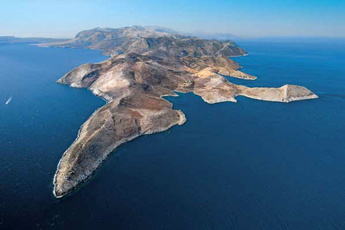
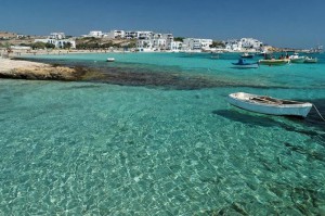 This small, majestic island on the southern edge of Peloponnese is considered to be one of the most famous touristic destinations for the summer period and its characteristics are the beautiful sandy beaches and the crystal waters. It was named Elafonisos (elafi=deer), after the plethora of red deer in the area. According to Pausanias, there were also a lot of sanctuaries dedicated to Goddess Artemis.
At the picturesque port of Elafonisos there are always ships coming and going.Only ten minutes away from Neapoli, this natural paradise reminding of the Caribbean, is easily accessible. The whole island has only two settlements, the first of which is Elafonisos, with the port, the fish taverns and the church of Saint Spyridon and the second one is Kato Nisi, with the beautiful beach of Panagia and the homonymous church.
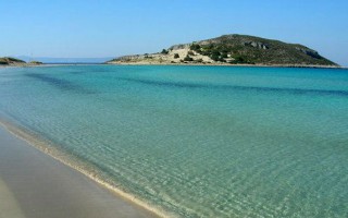
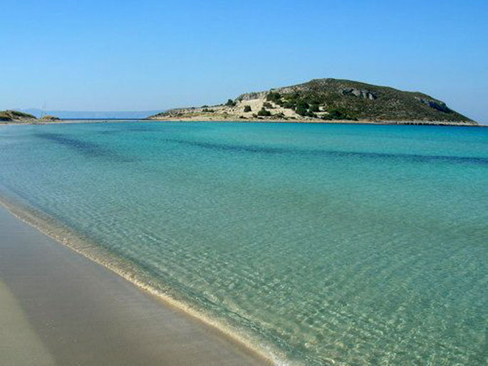
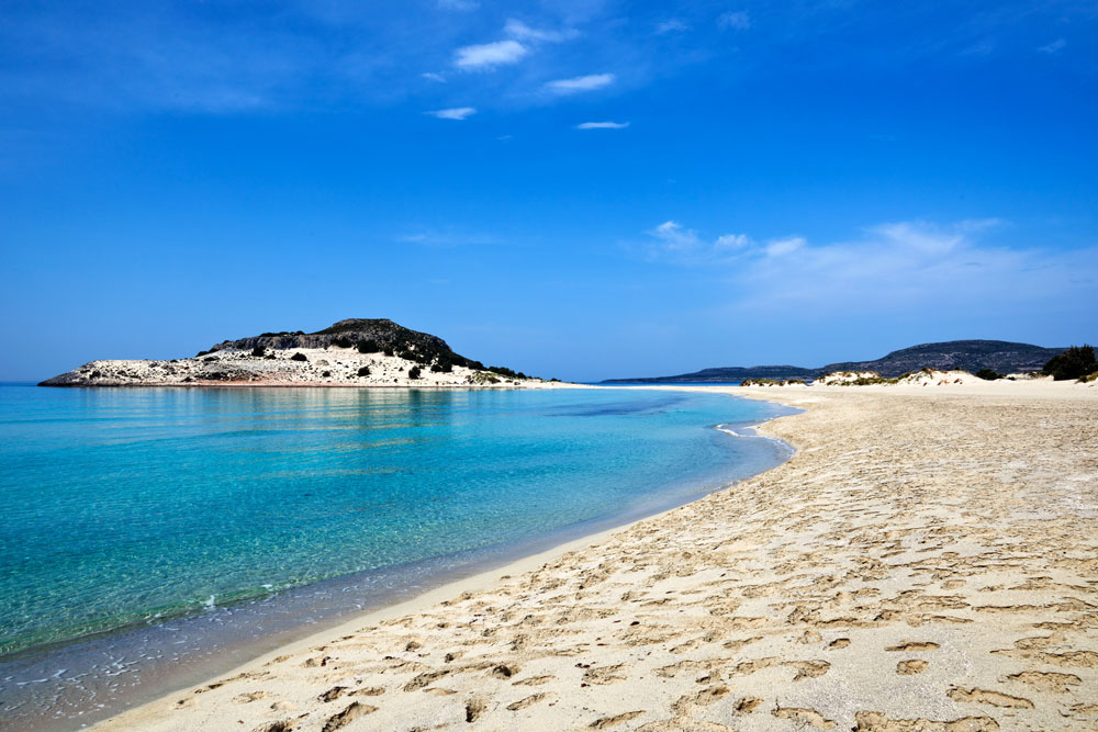
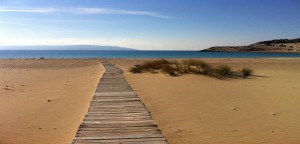 However, the best beach on the island, responsible for its worldwide fame is Simos’ beach at the Saraniko bay. It is an endless, pure white, sandy beach with sapphire waters that is one of the most magnificent beaches of the Laconic Peninsula and the Mediterranean Sea as well.The sand dunes with the bushes, the cedar forest of the area and the rare habitats are protected by the NATURA and constitute the main characteristics of the area.
In Elafonisos you will find few rooms to let, but the majority of visitors choose the organized camping that is located behind the breathtaking Simos’ beach. In the summer, the beach is filled with visitors and it is also a very popular attraction for yachts and sailing boats. The small taverns at the port serve fresh, local fish, seafood and lobster spaghetti that can satisfy even the most demanding customer. Explore Simos’ cedar forest, enjoy the impressive sea bottom, the pure white, sandy beach and the way the sunlight hits the crystal waters.Except for Neapoli, Elafonisos is also connected coastally to Gytheio.
Source: www.mythicalpeloponnese.gr
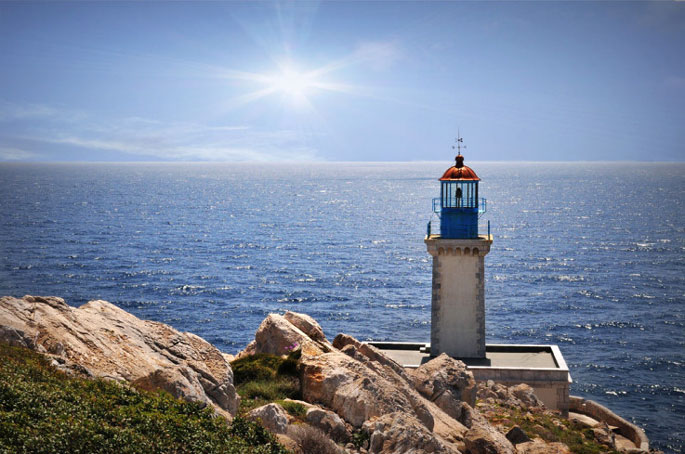
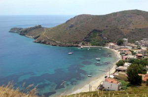 The ancient people believed that at the end of Mani and of the mainland of Europe were the gates to the Underworld. The visitors can reach on foot the Cape Tenaro, which is filled with remains of antiquities, from the path starting from the little church of Agioi Asomatoi which was built using the stones from the Sanctuary of Poseidon Tenarios. If you walk east, you’ll find sculpted on the rock the Psychomanteion (oracle of the dead) from where the Psychopompos (the guider of souls, the ferryman) collected the souls and accompanied them to the gate of Hades, a sea cave were Hercules passed in order to confront Kerveros, the beast that guarded the Underworld. If you walk west, you can find traces of the ancient and roman settlement like the great mural of the 1st century A.D. After a 45 minutes route, you’ll finally arrive to the lighthouse of Cape Tenaro, built in 1822, that signals the end of Mani and the Cape. At the beginning of the Cape, Marmari and Porto Kayio are ideal for swimming in their crystal clear beaches. Don’t forget to visit the settlements Paliro and Vatheia, Achilleion and Grigorakis Tower at the village Charakes. It’s worth it!
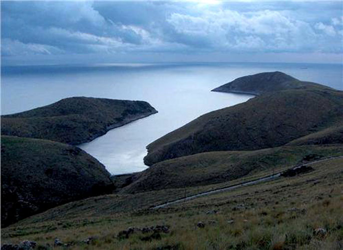
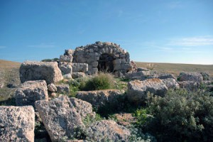 Where Mani and the mainland Greece end, there at the most southern edge of Europe and Balkan Peninsula you can find Cape Tenaro. The ancient Greeks believed that this place was the gate to the Underworld. It was named after the mythical hero and settler Tenaros, son of Zeus, who built this town at the isthmus of the Mani’s most southern peninsula, Akrotenaro. This Cape in the ancient times was also called “Poseidion” while later during the Frankish Occupation it was renamed into Cape Matapias, name which still exists in many nautical maps. According to mythology, here was supposed to be located the gate of Hades, a sea cave where Hercules passed in order to confront Kerveros, the beast that guarded the Underworld. The same gate crossed Orpheus to go and find Evridiki and in there hid the Spartan Arpalos who stole Alexander the Great’s treasures. In the modern history, the sea area around Cape Tenaro reminds us of the naval battle of Tenaro in 1942. This place has a special charm since it is filled with scattered remains and it has the characteristic beauty and energy of the Maniatic landscape.
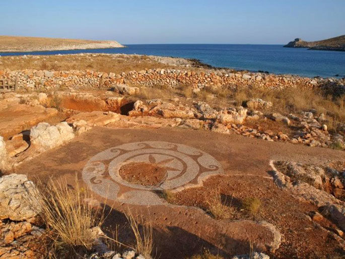
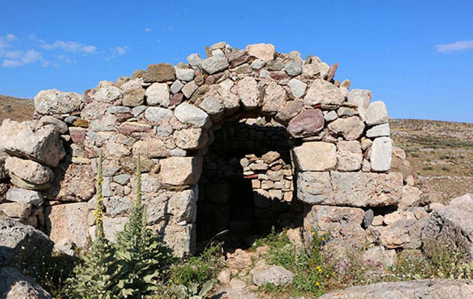
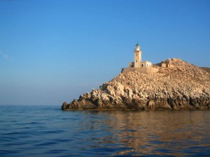 First, the Cape forms a narrow strip of land that is compressed by two bays from the eastern and western side. On the western side we can see the bay Porto Marinari with the homonymous settlement and on the eastern side Porto Kayio. Later the Cape becomes wider. The road stops after the settlement Kokkinogeia, at the church of Agioi Asomatoi where the Sanctuary of Poseidon Tenarios is situated, god of the Underworld for the ancient people of Lacedaimonia. If you walk east, you can find next to a small beach the Psychomanteion (oracle of the dead) from where the Psychopompos (the guider of souls, the ferryman) collected the souls and accompanied them to the gate of Hades, a sea cave whose exact place has not been determined yet. In the cave the existence of a Poseidon’s necromanteion is also reported. If you go west of the church, after a 45 minutes route, you’ll finally arrive to the lighthouse of Cape Tenaro, a rectangle stone building, 16 m tall, built in 1822 and 20 meters above sea level. The French constructed it and it started operating in 1887. Until 1984 it had three lighthouse keepers and since then its guarding and operation were conducted by an automatic lighting mechanism based on the solar energy. If you keep going, you’ll find traces of the ancient Greek and Roman settlement with the impressive “Aria’s Star”, an ancient decorative mosaic of the 1st century A.D. If you go even further, on the northern side of the lighthouse you’ll pass the Mani near the prefecture of Messinia.
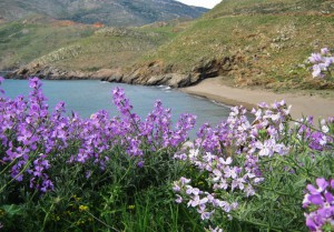 The three sandy beaches of Marmari and the beach of Porto Kayio are suitable for swimming. Moreover, you should definitely pay a visit to the small settlement of Achilleio with its tower houses over Porto Kayio, the imposing Grigorakakis Tower at a location named Charakes and the traditional settlements of Paliro and Vatheia.
Source: www.mythicalpeloponnese.gr
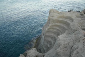 In a large seaside area that extends from Agia Marina and Agios Nikolaos to the Voies plain and Elafonisos, lies a rare natural phenomenon, the only one of its kind throughout Europe. It is of a rich geological museum of petrified tree trunks that date back to two or three million years. Among the finds are rare shell, algae and other sea creature fossils that complete the unique collection. The coasts of Agios Nikolaos, Agia Marina, Spitha and Voies represent the most interesting part of the forest. In Korakas village, visitors can admire the forest’s tallest two meter tree trunk, named “human” by the locals. The trail to the forest begins from the little church of Saint Marina. Voies municipality has created a modern geopark, with walking routes and informational material, around the Petrified Forest, in Agios Nikolaos region. Petrified forests are protected natural monuments of great scientific value.
The Petrified Forest is a valuable geological museum and a miracle for the land of Laconia. It extends along the coast of Agios Nikolaos in Neapoli. Fossils of tree trunks with petrified roots that date back to two or three million years ago were discovered next to the sea. Palm trees, conifers, and hardwood trunks (0.50cm to 1m diameter) were petrified due to various natural phenomena and they were recalcifiered by the rise of the sea level. The findings, unique in Europe, are priceless for scientific study. The creation of petrified trunks followed the procedure of the main petrification, namely the replacement of the organic material, molecule after molecule, by dissolved minerals rich in calcite and pyrite; the morphological characteristics of the trees were conserved in very good condition.
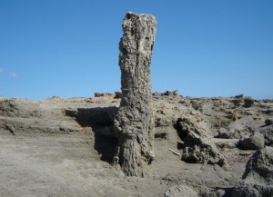 The findings lie in a large coastal surface that extends from Agia Marina to Cape Maleas and reaches the Voies plain and Elafonisos. The most interesting part lies in the three rocky beaches of Agia Marina, to the east of Korakas and at Spitha beach in Agios Nikolaos. At Korakas you will find the “human”, the forest’s tallest two meter tree trunk. Numerous rare sea fossils can be observed at the coast and the surrounding fields; starfishes, snails, shells, crabs, mussels and various other shellfishes. It is very easy to cross the forest. You can start from the trail in the village of Agios Nikolaos and take the path that passes from the left side of Agia Marina church. Voies municipality has created a modern geopark, with walking routes around the Petrified Forest and information material.
Source: www.mythicalpeloponnese.gr
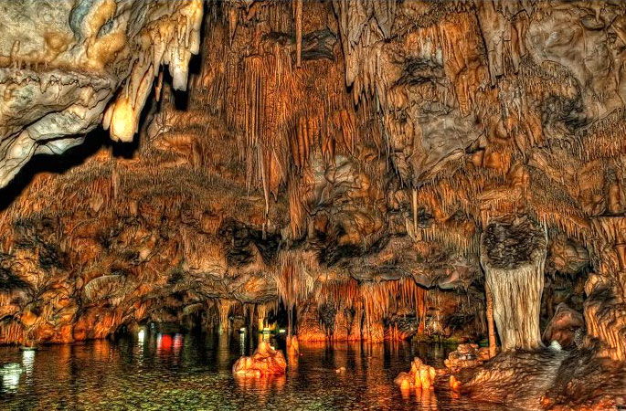
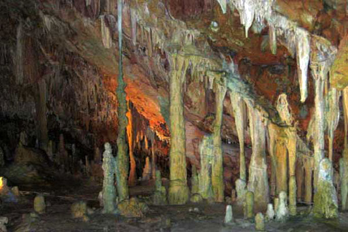
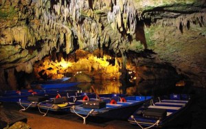 Just south of Aeropolis, at Diros bay, is the Glyfada cave (or Vlychada cave). It offers visitors a spectacular beauty hidden in the depths of the earth. It is a sea cave of exquisite beauty that is considered to be the best from the three most beautiful sea caves in the world. It is a tour sight and is 3.100 meters in length. Visitors can go through dry and wet areas with a plethora of arcades and chambers. Moreover it possesses a sensational, colorful mineral decor of compelling column shaped stalactites and stalagmites. The tour follows a circular route and the wet area, 2.800 meters in length, takes place solely by boat. The cave exploration started in 1949 and today over 10.000 m2 have been explored. The Glyfada Cave at Diros is currently considered the largest and most famous sea cave of the country.
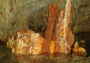 Also known as Vlychada, the Glyfada cave is located on the west coast of the Laconic Peninsula, at Diros bay. The cave consists of a subterranean river that runs through the cave and empties into the sea 23 meters to the right side of the cave’s entrance that is half a meter tall from water level. It is the first cave of this specific area and the best from the three most beautiful sea caves in the world. It possesses a sensational, colorful mineral decor of compelling column shaped gray and white stalactites and stalagmites. It consists of dry and wet areas with a plethora of arcades and chambers, the majority of which is covered in sea water. It is the largest and most well-known cave of the country. It is 3.100 meters in length with only 300 of these being dry. For tour purposes, two new entrances were opened in addition to the existing one. The tour follows a circular route and lasts 45 minutes and the wet areas are solely toured by boat. The cave has a stable temperature of 18⁰ C. The water level fluctuates depending on the outdoor weather conditions, with a maximum water depth of 15.5 meters and a temperature of 12⁰ C. Below the entrance of the cave is Diros bay, with its whitewashed pebbles and crystal clear waters.
The cave was discovered by Petros Arapakis and its exploration started in 1949 by Ioannis and Anna Petrocheilou. Bones of prehistoric oxen, hippopotamus, hyenas and of other animals as well as ceramic utensils of the prehistoric times were found in the cave. Today over 10.000 m2 have been explored. Due to its natural marine entrance, the cave was not use by humans.
Source: www.mythicalpeloponnese.gr

