 The archaeological site of the cemetery of Dendra with its royal tombs is already famous for the excavation of the bronze armor of Dendra, the most ancient armor found. The discovery brought to light the ancient burial habits and confirmed Homeric poems. The valuables, the everyday life objects, the elaborate jewelry and the figurines of reverence discovered document the wealth of that period. Recent excavations brought to light the remains of two horses and provided valuable insight on the rituals of the Mycenaean age.
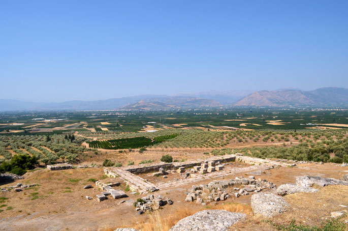
The archaeological site of the cemetery of Dendra is situated on a hill slope, on the west of the Mycenaean town of Midea, outside the village that bears the same name. It constitutes one of the biggest Mycenaean cemeteries of Peloponnesus.
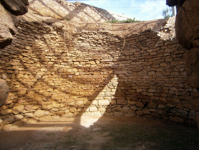
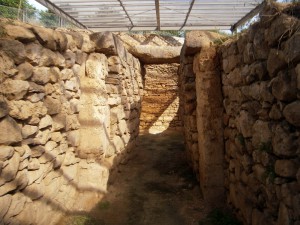 The excavations, that started during the spring of 1926 and were carried out in the following decades, brought to light the royal tombs; a tholos tomb and sixteen chamber tombs. The chamber tombs vary in shape and they were engraved in a soft rock on the hill slope. They consisted of three parts: the dromos, an inclining ramp, the stomion, narrow passage, and the chamber. The entrance to the tomb was walled by a dry masonry.
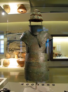 Among the findings at Dendra Cemetery, the one that stands out, is the oldest complete bronze armor. The necropolis uncovered the ancient burial habits of the Mycenaean age, and confirmed Homer, who exalted the Achaeans who wore bronze. Precious valuables, arms, tools, elaborate jewelry, figurines of worship and everyday life objects made of gold, silver, bronze, ivory and other materials confirm the wealth of that period. Recent excavations brought to light two prehistoric domestic horses, possibly battle steeds, which griped the archaeological community.
All of the findings attest that the site was occupied between 1500 and 1180 B.C. probably pertaining to the nearby acropolis of Midea. They are exposed in the archeological museum of Nafplion and the National Archeological Museum of Athens.
Source: www.mythicalpeloponnese.gr
The megalithic Mycenaean bridge of Kazarma stands imposing in the village Arcadicon and constitutes the oldest bridge in Europe that is still in use. It must have been constructed back in 1300 B.C. and it used to join Epidaurus, Mycenae and ancient Tiryns.
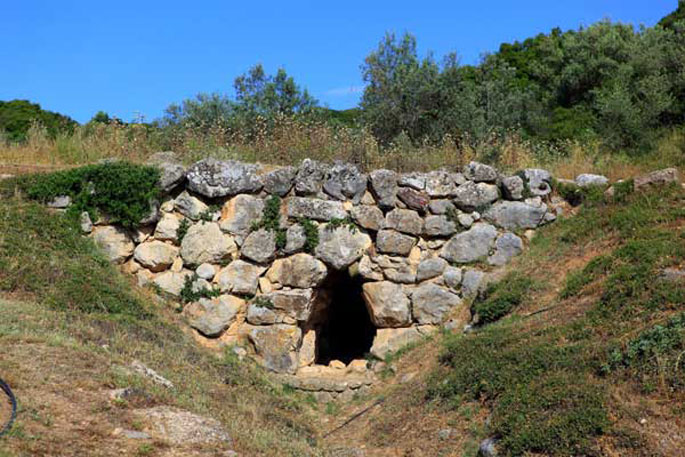
In the village called Arcadikon, on the way which joins Nafplion to Epidaurus predominates the Mycenaean “Bridge of Kazarma” , the oldest bridge in Europe. This imposing bridge, that constitutes another great creation of the Mycenaean age, was constructed around 1300 B.C. For its construction massive uncut limestone blocks were used, in accordance with the Mycenaean construction style that ordered no use of adjoining material. It is 22m long 5,6 m wide and 4m high, and based on remains of a still visible road suitable for vehicles across the bridge, it had been used to connect Epidaurus, Mycenae and ancient Tiryns. At the same time, it was also used as a dam for the raging torrents. The special characteristic of this bridge compared to others is the oblique wedge that holds the sides of the triangular passage in place.
Today, this arched bridge still in use by the inhabitants of the region, and four more placed close to each other, are there to remind us that on this specific land the glorious Mycenaean civilization was once born.
Source: www.mythicalpeloponnese.gr
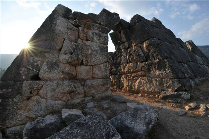
The Pyramid of Hellinikon is located near the city of Argos, on an ancient road which once led from Argos to Tegea. The pyramid is preserved in good condition and it consists of a unique phenomenon and an archaeological mystery.
The Pyramid of Hellenikon is situated nine kilometres away from Argos, near the springs of the Erasinos river and on the main arterial road which in antiquity led from Argos to Tegea. The pyramid is a live proof of mythology which suggests that there was a relation between the land of Argos and the Egyptian civilization. There is a controversy about the date of this structure.
Based on the excavations carried out, it dates back to the late 4th century, but according to archaeologists, using new methods, it might overlap the construction of the pyramids in Egypt. The first theory seems to prevail.
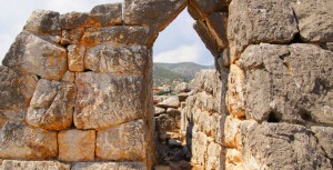 The Pyramid of Hellenikon is situated nine kilometres away from Argos, near the springs of the Erasinos river and on the main arterial road which in antiquity led from Argos to Tegea. The pyramid is a live proof of mythology which suggests that there was a relation between the land of Argos and the Egyptian civilization. There is a controversy about the date of this structure. Based on the excavations carried out, it dates back to the late 4th century, but according to archaeologists, using new methods, it might overlap the construction of the pyramids in Egypt. The first theory seems to prevail.
There are many theories on its use. The Greek traveler, Pausanias wrote in the 2nd century A.D. that the Hellinikon pyramid was a common tomb for soldiers. Others refer to the pyramid as a fryctoria, a tower used to send smoke signals. At the present it is believed that the pyramid served as a small observatory to control the surrounding area.
It consists of a unique architectural phenomenon and it is preserved in good condition. It reminds its visitors of the history of Argos.
Source: www.mythicalpeloponnese.gr
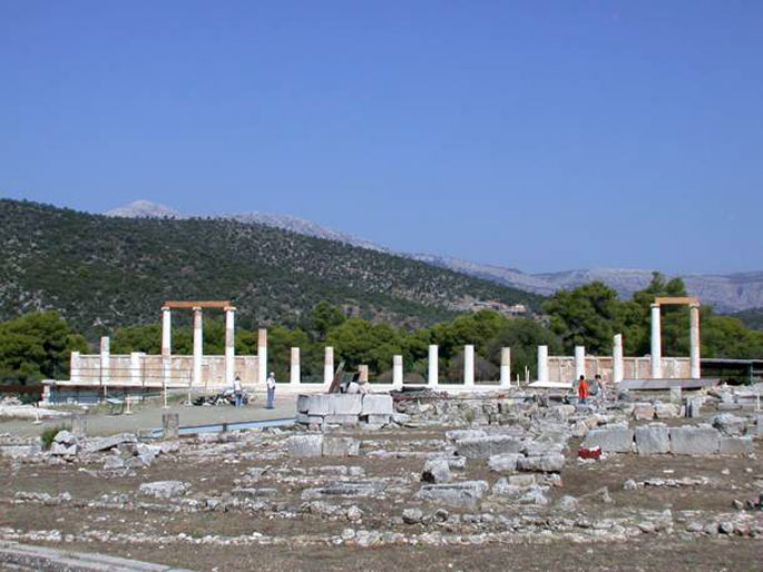
The sanctuary of Asclepius with its healing waters is situated between the hills of Titthios and Kynortio. For many centuries it constituted a cultural, religious and political center of great importance. It was here that the king of Epidaurus, Malos, founded the sanctuary of Apollo Maleatas and then his granddaughter, Koronis, gave birth to Apollo’s son, the god Asclepius. Thousands of sick people passed through the gates of the sanctuary in order to be cured by the god Asclepius. Alongside the sanctuary the visitor can admire the baths, the gymnasium, the tholos, the abaton, the sanctuary of Asclepius, the palaestra, the Stadium and many other monuments.
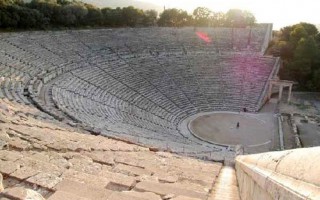
The ancient theater of Epidaurus is located in this archaeological site. The Sanctuary of Asclepius is located between the hills Titthio and Kynortio which were named after a nursing goat and a guardian dog that saved little Asclepius from hunger and beasts.
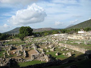 The sanctuary enjoyed great fame and was considered of the most important healing center of the time. It was the birthplace of medicine that was believed to be given to the people as knowledge from the god and it spread to the 300 Asklepeia in the Hellenic and the Roman world.
The adoration of medicine in this region did not start from Asclepius. Centuries before, between the 16th and 11th century B.C. on mount Kynortion behind the ancient theater there used to be an unusually large sanctuary dedicated to a healing goddess. At the same mount, in 800 B.C, according to the mythology, the king of Epidaurus, Malos, founded a sanctuary dedicated to Apollo Maleatas and later his granddaughter, Koronis, daughter of the king of Thessaly, Flegyas, gave birth to Asclepius, a fruit of her love with Apollo. During the 6th century B.C. the fame of Asclepius spread beyond the limits of Argolida and a second sanctuary was founded, one kilometer southwest, the Asklepion.
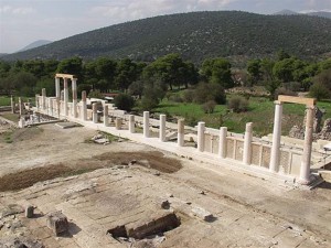 The ritual of healing gave great importance to the purifying significance of the water. In the following centuries, the sanctuary became very famous, and the worship continued, despite the destructions during the Roman period, until the official ban on ancient pagan religions in 426 A.D. by Theodosius the Great. Between 522 and 551 A.D. the site was abandoned following the destructive earthquakes.
Panagis Kavvadias excavated the site in 1881, uncovering the sanctuary’s most important monuments.
Several buildings surround the temple. These include the Archaeological Museum, the Hostel, the Purifying Baths, and then the gymnasium and a Roman Odeon built in its yard. In the northeast part one can see the so-called Stoa of Kotyos, the temple of Artemis and the doric temple of Asclepius. Next to the temple lies the Abaton, where the patients’ hypnosis took place, the Tholos, a circular peristyle building, the Roman baths, a sacred road that lead to the Propylaia and the ruins of an early orthodox church. Also visible are the remains of the arena and the stadium. The most significant monument of the site is the well renowned Ancient Theater of Epidaurus, an architectural masterpiece.
Source: www.mythicalpeloponnese.gr
The E-path starts at the Pyrenees of Spain, it crosses central Greece, and ends at Larnaka, Cyprus. The southern part of the path begins in Corinth and through Tripoli enters Laconia, crosses Parnon, Sparti and Mystras and climbs the slope of Taygetus and ends in Gytheio.
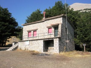 The path follows the route Agios Petros – Karyes – Vresthena – Theologos – Sparti – Mystras – Faneromeni Monastery- Anavryti –- Lakomata – Taygetos shelter– Pentavloi – Agios Dimitrios – Arna – Agia Marina – Monastery of Our Lady Giatrissa – Katsania – Gytheio. Through Kapsia village in Tripoli, the path enters Karyes village on the slopes of Parnon and crosses the forest ending at Vresthena.It passes through the city of Sparti, leading to the fortified town of Mystras with its byzantine churches and the narrow stone alleys. After seven hours of trekking, accompanied with a great view of mount Taygetus, the path continues to Anavryti and ends at the mountain shelter of Taygetus, where you can spend the night. Through the forest tracks and the numerous water sources the path comes to Pentavloi, a region of special natural beauty that follows Anakolo gorge. Near the river of the gorge, the old bridges and the traditional water mills the path continues to Arna and the prominent monastery of Our lady Giatrissa (the healer) to end at Kastania. From this point the path crosses traditional settlements, caves, hills, water springs, and ravines until it reaches the town of Gytheio. On its way to Gytheio, the European path E4 intersects with the national path E32 and many other local paths that lead towards the summit of mount Parnon and Taygetus and passes through forests and significant byzantine monasteries and traditional settlements.
The best period for one to walk the path is during the spring and the autumn, equipped with the adequate climbing equipment. The signs and the marks of the path are distinguished in yellow and black color. The Hellenic Federation of Mountaineering and Climbing has established and maintains the E4 path which is designated by the European Ramblers’ Association.
Source: www.mythicalpeloponnese.gr
On the south of Mycenae, on the slopes of the hill called Aetovouno or Euboea, built on three hills, lies the Heraion, a very important temple dedicated to Hera. It was in this temple that every two years following every Olympiad the panhellenic ancient festival of Heraia took place. This magnificent sanctuary, flourished from the 5th century B.C until the Roman age and it consisted of the official religious center of the region of Argos. Apart from the Heraion the site has ruins of Roman baths and other buildings.
The Heraion is located between the archeological site of Mycenae and the city of Argos, on the slopes of the mountain called Aetovouno or Euboea. It was a place of worship dedicated to Hera, protector of Argos. This imposing temple was built in the 8th century B.C. In the early 7th century it was the official religious center of the region of Argos and it flourished from the 5th century B.C. until the Roman period. According to the tradition it was created by the hero Argos or Phoroneas, son of Inachus.
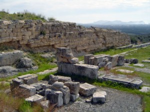 The Heraion consists of three levels. During the first centuries of its use, the place of worship was situated on the upper level and it was protected by a cyclopean wall. During the 6th century B.C two Doric style stoas were constructed on the south of the middle terrace. In 423 B.C., though, the first temple burned down and a second temple was built by Eupolemos. This second temple was constructed on the middle terrace between the “west building” hosting the symposiums and the “east building”.
In this temple was the chryselephantine statue of Hera, a work of Polykleitos, a wooden statue of the goddess taken from Tiryntha and a chryselephantine statue of Eve created by Naukides. There were other statues representing heroes of the region and priestesses of Hera at the Propylaea (entrance) of the temple. The sack of Troy and the birth of Zeus were depicted on the impressive pediments, parts of which are exposed in the National Archaeological Museum of Athens.
It was in this temple that every second year after each Olympiad the Heraia or Hekatombaia were celebrated, a festival in honor of the goddess and one of the biggest festivals in Argos. Apart from the festival, games also took place, and the winners were awarded coppery objects. The existence of this festival is documented by Herodotus when he recounts the sacrifice of two brothers, Kleobis and Biton who dragged the cart of their mother, the priestess of Hera Argeia, while the oxen assigned to the task were used for another work.
All the priestesses of the temple had a lifelong service and were highly appreciated by the people of Argos. The importance of the sanctuary is also attested to by the fact that the calculation of the local date was based on the year the service was assigned to each priestess and on the offerings of Nero and Hadrian. Catharsis ceremonies took place in the temple, in the water of river Eleftherios. The excavations brought to light an Apollo temple, Roman baths, a cemetery and the Heraion.
Source: www.mythicalpeloponnese.gr
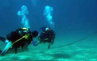
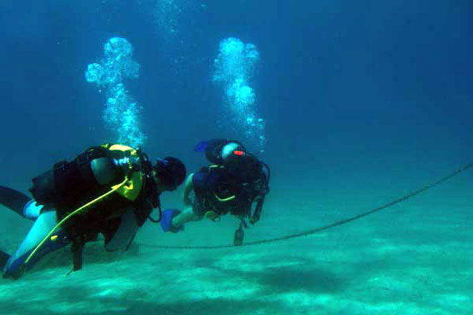
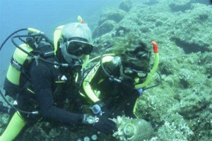 The crystal clear waters of the Laconian Sea with its rich sea bed offer scuba divers great diving trips. Explore the diverse underwater flora in most of the beaches of the area. In the Laconia region autonomous diving is permitted at the Gulf of Epidaurus Limera that extends from Monemvasia and contains the shores of Myrtoo.
In the Laconian gulf free diving is permitted south of cape Psifia, from Trinesa to Kokkinia at the region of Gytheio, in Elos and Skala.
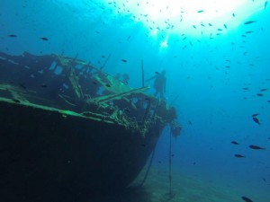 The prehistoric settlement of Pavlopetri lays in its submerged nest at Pounta beach, along with the ancient city of Plytra, at the beach of the town bearing the same name. Because of the historic nature of these two archaeological sites, only snorkeling is permitted in the area. In Elia and at the cape Ksuli there are chasms and underwater caves.
There are numerous diving schools in the region of Laconia. The diving tours are permitted from the sunrise to the sunset. Spear gun fishing with scuba diving equipment is not allowed. You can find more information at the local port police.
Source: www.mythicalpeloponnese.gr
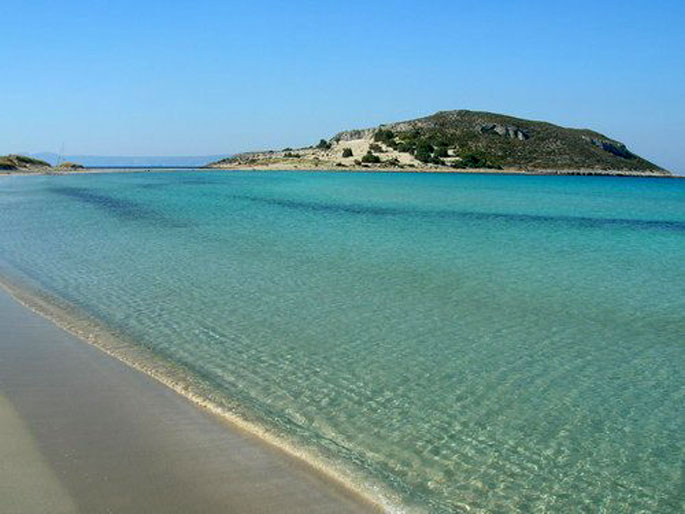
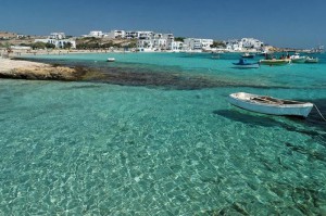 This small, majestic island on the southern edge of Peloponnese is considered to be one of the most famous touristic destinations for the summer period and its characteristics are the beautiful sandy beaches and the crystal waters. It was named Elafonisos (elafi=deer), after the plethora of red deer in the area. According to Pausanias, there were also a lot of sanctuaries dedicated to Goddess Artemis.
At the picturesque port of Elafonisos there are always ships coming and going.Only ten minutes away from Neapoli, this natural paradise reminding of the Caribbean, is easily accessible. The whole island has only two settlements, the first of which is Elafonisos, with the port, the fish taverns and the church of Saint Spyridon and the second one is Kato Nisi, with the beautiful beach of Panagia and the homonymous church.
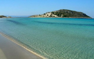
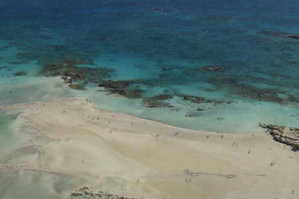
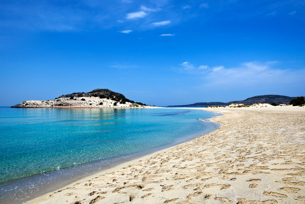
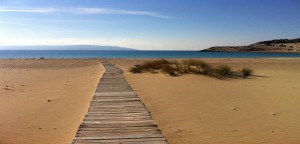 However, the best beach on the island, responsible for its worldwide fame is Simos’ beach at the Saraniko bay. It is an endless, pure white, sandy beach with sapphire waters that is one of the most magnificent beaches of the Laconic Peninsula and the Mediterranean Sea as well.The sand dunes with the bushes, the cedar forest of the area and the rare habitats are protected by the NATURA and constitute the main characteristics of the area.
In Elafonisos you will find few rooms to let, but the majority of visitors choose the organized camping that is located behind the breathtaking Simos’ beach. In the summer, the beach is filled with visitors and it is also a very popular attraction for yachts and sailing boats. The small taverns at the port serve fresh, local fish, seafood and lobster spaghetti that can satisfy even the most demanding customer. Explore Simos’ cedar forest, enjoy the impressive sea bottom, the pure white, sandy beach and the way the sunlight hits the crystal waters.Except for Neapoli, Elafonisos is also connected coastally to Gytheio.
Source: www.mythicalpeloponnese.gr
Τhe Mycenaean acropolis of Midea, the third fortified acropolis of Argolida, is related to many myths. It played the role of a craft industry, administrative, military and financial force. It was built on a hill and, according to findings dating to the 13th century, it was inhabited since the prehistoric age. The “cyclopean wall” and the two gates, one on the east and one on the west, protect a 24.000m² region. The huge tunnel, the bastion and a number of houses with fine frescos fascinate the visitor. Furthermore the wealth and the glory of the acropolis are documented by the numerous archaeological findings. Their study greatly contributed to the decoding of the script Linear B demonstrating the continuity of the Greek language.
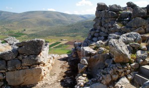 Between Mycenae and Tiryns, built on a 2.70m high ancient hill, rises the third most important acropolis of Argolida, the Mycenaean acropolis of Midea. According to the legend this land has been founded by king Perseus and consists of Alkmini’s, Hercules’ mother’s, homeland. Another legend states that this land was the prison where Hippodamia, Pelops’ mother, was punished, and the land was named after the queen. It was built to control the ancient passage to Epidaurus. Greek and foreign researchers have underlined its strategic position; the acropolis controls the plain of Argolida.
For many centuries, it constituted an important industial, administrative, military and financial centre. This is documented by the numerous findings brought to light by the excavations carried out in 1939.
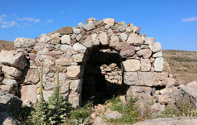
The ceramic findings of the late Helladic period indicate that the ancient hill was inhabited from the prehistoric age. The “cyclopean walls” surround the hill and protect a 24.000m² region, controlling the upper acropolis and the lower sections of the hill with its constructions. One side of the hill is steep consisting thus of a natural fortress and inaccessible barrier for the enemies. Two gates built with natural limestone, on the eastern and the western side, complete the fortification. An underground megalithic tunnel documents that there was a developed water and drainage system and it demonstrates a specific and detailed architectural design, as it resembles the respective constructions of Tiryns.
A powerful earthquake and the subsequent fire put an end to the Mycenaean Midea. This was documented by the skeleton of a girl, found at the eastern gate, covered by huge stones. The buildings had been repaired and reused in the 12th century BC.
At the western gate, a bastion, an outpost and a number of houses were uncovered. Pieces of the walls revealed that they had a fine decoration. The findings of semi-precious stones, ceramic and stone tools, armours and gold jewellery moulds document that the buildings were used as storage rooms and laboratories, proving Mideas’ industrial strength. One of the most important findings, the large rare idol on wheels depicting a goddess, revealed the religious practices of this period. Seals and inscribed jars contributed to the decoding of the Linear B, documenting the historical unity and continuity of the Greek language.
Source: www.mythicalpeloponnese.gr
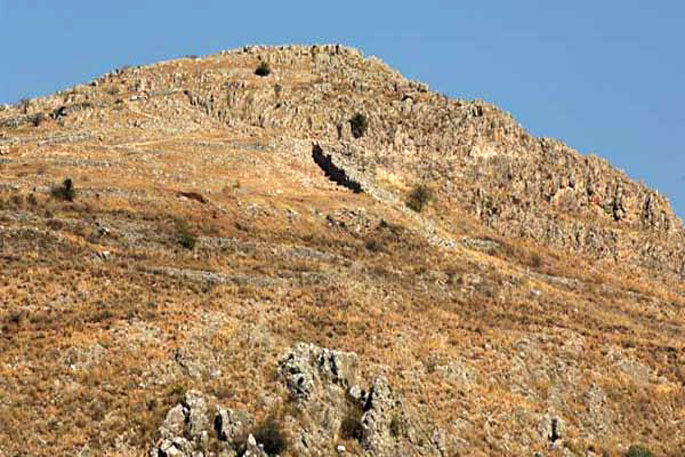
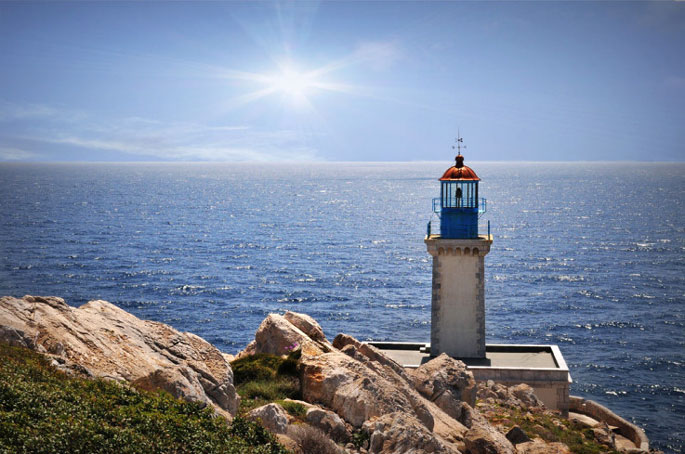
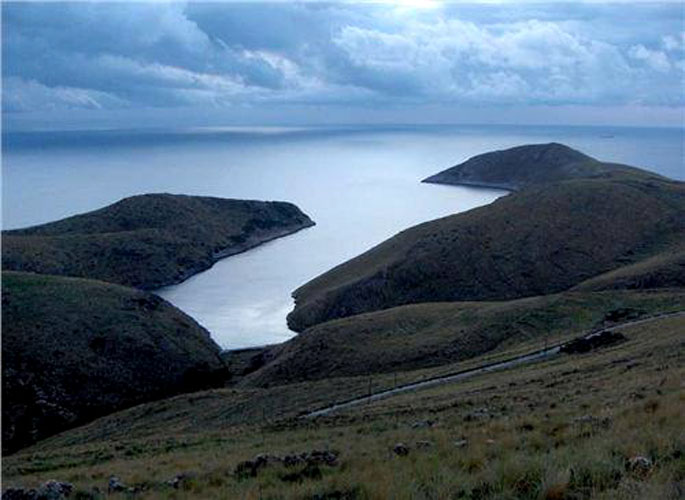
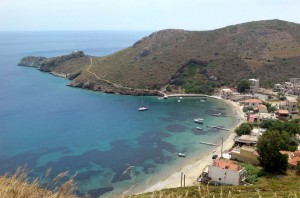 The ancient people believed that at the end of Mani and of the mainland of Europe were the gates to the Underworld. The visitors can reach on foot the Cape Tenaro, which is filled with remains of antiquities, from the path starting from the little church of Agioi Asomatoi which was built using the stones from the Sanctuary of Poseidon Tenarios. If you walk east, you’ll find sculpted on the rock the Psychomanteion (oracle of the dead) from where the Psychopompos (the guider of souls, the ferryman) collected the souls and accompanied them to the gate of Hades, a sea cave were Hercules passed in order to confront Kerveros, the beast that guarded the Underworld. If you walk west, you can find traces of the ancient and roman settlement like the great mural of the 1st century A.D. After a 45 minutes route, you’ll finally arrive to the lighthouse of Cape Tenaro, built in 1822, that signals the end of Mani and the Cape. At the beginning of the Cape, Marmari and Porto Kayio are ideal for swimming in their crystal clear beaches. Don’t forget to visit the settlements Paliro and Vatheia, Achilleion and Grigorakis Tower at the village Charakes. It’s worth it!
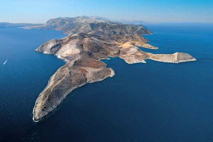
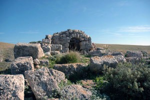 Where Mani and the mainland Greece end, there at the most southern edge of Europe and Balkan Peninsula you can find Cape Tenaro. The ancient Greeks believed that this place was the gate to the Underworld. It was named after the mythical hero and settler Tenaros, son of Zeus, who built this town at the isthmus of the Mani’s most southern peninsula, Akrotenaro. This Cape in the ancient times was also called “Poseidion” while later during the Frankish Occupation it was renamed into Cape Matapias, name which still exists in many nautical maps. According to mythology, here was supposed to be located the gate of Hades, a sea cave where Hercules passed in order to confront Kerveros, the beast that guarded the Underworld. The same gate crossed Orpheus to go and find Evridiki and in there hid the Spartan Arpalos who stole Alexander the Great’s treasures. In the modern history, the sea area around Cape Tenaro reminds us of the naval battle of Tenaro in 1942. This place has a special charm since it is filled with scattered remains and it has the characteristic beauty and energy of the Maniatic landscape.
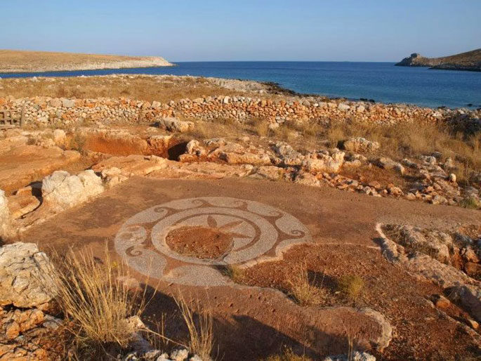
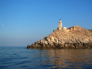 First, the Cape forms a narrow strip of land that is compressed by two bays from the eastern and western side. On the western side we can see the bay Porto Marinari with the homonymous settlement and on the eastern side Porto Kayio. Later the Cape becomes wider. The road stops after the settlement Kokkinogeia, at the church of Agioi Asomatoi where the Sanctuary of Poseidon Tenarios is situated, god of the Underworld for the ancient people of Lacedaimonia. If you walk east, you can find next to a small beach the Psychomanteion (oracle of the dead) from where the Psychopompos (the guider of souls, the ferryman) collected the souls and accompanied them to the gate of Hades, a sea cave whose exact place has not been determined yet. In the cave the existence of a Poseidon’s necromanteion is also reported. If you go west of the church, after a 45 minutes route, you’ll finally arrive to the lighthouse of Cape Tenaro, a rectangle stone building, 16 m tall, built in 1822 and 20 meters above sea level. The French constructed it and it started operating in 1887. Until 1984 it had three lighthouse keepers and since then its guarding and operation were conducted by an automatic lighting mechanism based on the solar energy. If you keep going, you’ll find traces of the ancient Greek and Roman settlement with the impressive “Aria’s Star”, an ancient decorative mosaic of the 1st century A.D. If you go even further, on the northern side of the lighthouse you’ll pass the Mani near the prefecture of Messinia.
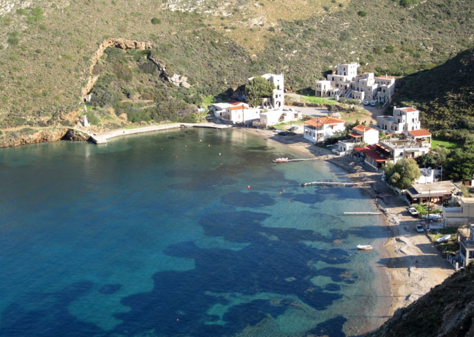
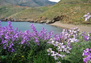 The three sandy beaches of Marmari and the beach of Porto Kayio are suitable for swimming. Moreover, you should definitely pay a visit to the small settlement of Achilleio with its tower houses over Porto Kayio, the imposing Grigorakakis Tower at a location named Charakes and the traditional settlements of Paliro and Vatheia.
Source: www.mythicalpeloponnese.gr

